––– George Martin, A Clash of Kings
An atypically windless morning in Summer in Maine, leaving Birch Harbor. 3 August 2014.
––– George Martin, A Clash of Kings
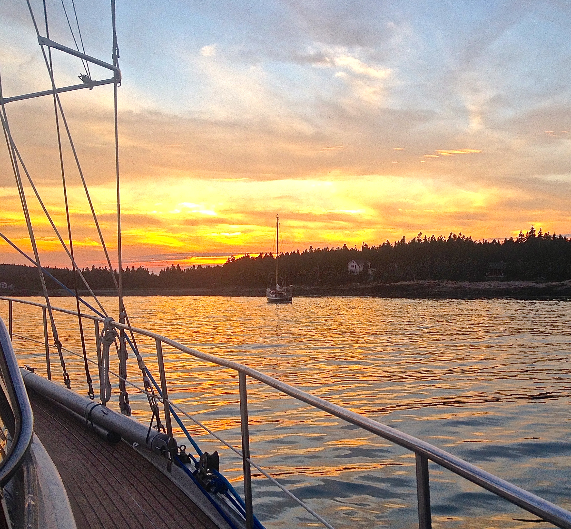
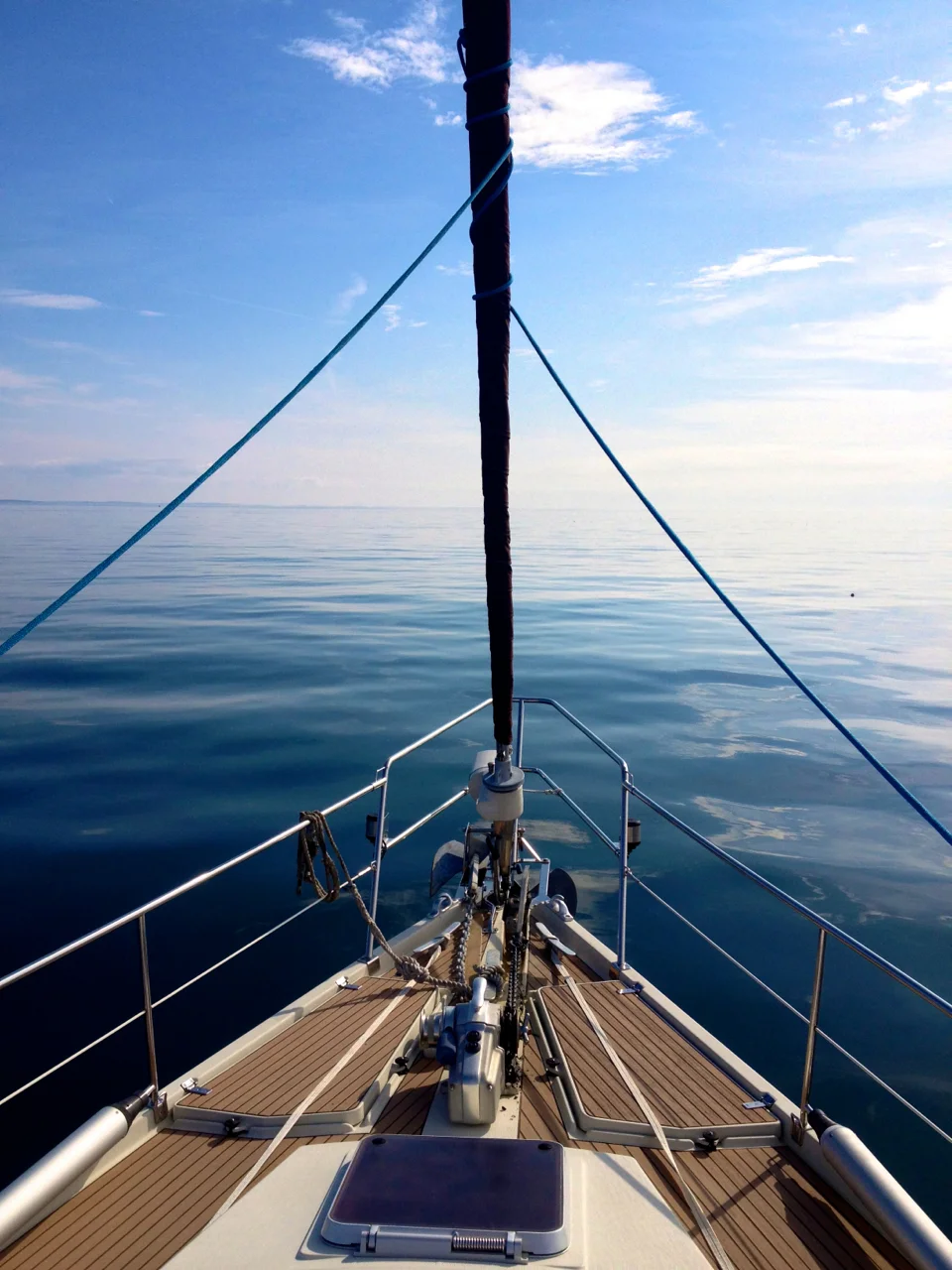
An atypically windless morning in Summer in Maine, leaving Birch Harbor. 3 August 2014.
From what we saw, this might be the closest to penury you can get in Mount Desert Island.
1 August 2014: We stayed at another B&B just a few of blocks away when we visited Southwest Harbor in 2011. If it had been named as curiously as this one, we might still remember the name!
The Portuguese who first fished its waters in the 16th century called it the "Rio Fundo", or deep estuary. Eventually it became anglicised to "Bay of Fundy," home to the highest tides in the world, and the bay that separates New Brunswick and Maine from Nova Scotia.
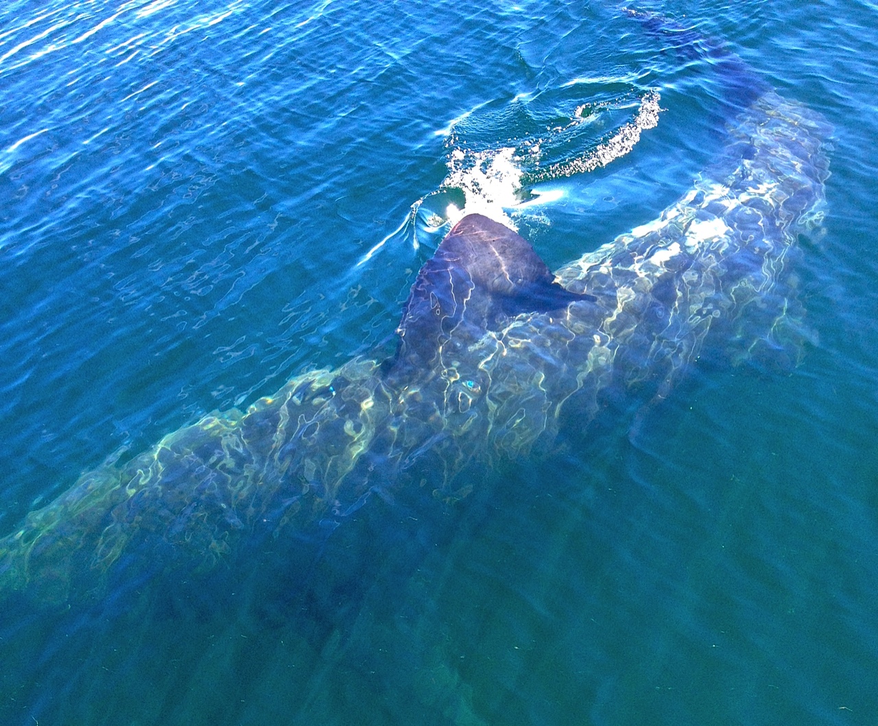
Yesterday Bennet and Hank from Pratique, a beautiful Outbound '46, kindly invited us for an afternoon sail. We came across a couple of basking sharks, ocean sunfish, rainbows, and other animals. Ocean sunfish grow to exceed one ton. The basking sharks were about half as long as the boat.
Click the image for more pics.


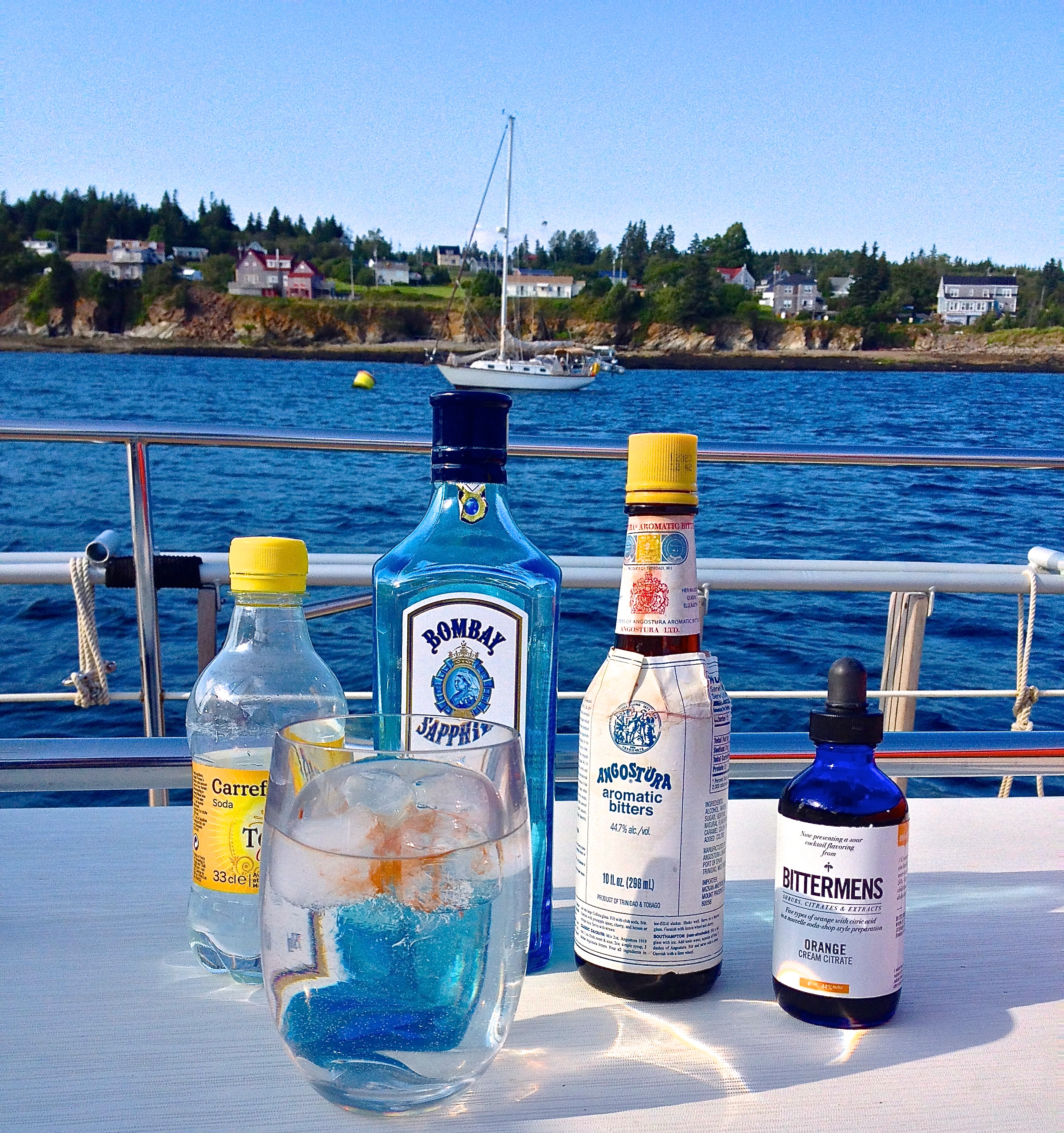
In all of this island there is but one liquor store, several kilometres from where Peregrinus lies moored. Furthermore, as the Canadians taxed us on the alcohol we brought from abroad, we feel unmotivated to further contribute to the treasury, and so, there shall be no acquisition of spirits while in Canada.
We had the bottom of a Bombay Sapphire, unconsumed for lack of tonic, but the most excellent crew of Ruffian, out of Newcastle, donated their very last bottle of tonic, sailed all the way from France, to the cause. We added ice, a few drops of Angostura and of Bittermens and drank it to the health of Fiona and Iain.
Capital flight: Angostura was invented and made for 51 years in Santo Tomé de Guayana de Angostura del Orinoco. As the climate for doing business in Venezuela has had its ups and downs for the last couple of centuries, the firm that makes it ended up leaving the country in 1875 as yet another dictator had taken over the country. The product has been made in Port of Spain for the last 139 years.
When the English partitioned their Nova Scotia territory into three separate colonies in 1784, they named the westernmost, non-peninsunlar section, New Brunswick, in honor of King George III's possessions in Germany, as, in addition to being the mad king of England, he was Prince Elector to the Holy Roman Empire, on account of concurrently being the Duke (Herzog) of Braunschweig-Lüneburg. In English, as well as in Spanish, French, and other mainstream tongues, Braunschweig is rendered as "Brunswick".
It is amusing to consider that the King could in the 18th century get away with being a Prince Elector, whereas Thomas Arundell, the father of the Anne Arundel of Annapolis, Maryland, was jailed and could easily have lost his head for merely accepting a Countship from the Roman Empire just a bit over a century before the kings of Britain became Germans themselves. That's the divine right of kings for you.
We arrived in North Head Wharf, Grand Manan Island, on 4 August 2014. Peregrinus is on this photo, center, behind the wharf. A phone call to the Canadian Border Services Agency that same afternoon and voila!, we were checked into Canada. Were that all countries worked like so.
––– Peter Guttormsen.
Birch Harbor, south of Prospect Point. 3 August 2014.
So named in 1918 after Antoine Laumet de La Mothe, sieur de Cadillac, Donaquec et Monts Déserts, who once owned 400 square kilometres in Nouvelle-France that included Mount Desert Island. De La Mothe founded Fort Pontchartrain du Détroit, a settlement that eventually became a now bankrupt city in Michigan.
On 1 January 2011, the Admiral and the seaman hiked up the Mount, five days after the Christmas Blizzard of 2010.
Acadia National Park, crowned by the île des Monts Déserts. 2 August 2014.
Acadia, settled from 1604 and onwards, was the province of Nouvelle-France that occupied most of today's Maine, New Brunswick, and Nova Scotia, as well as parts of today's Québec. The French lost Acadia to the English between 1710 and 1724.
Although Acadia has not existed as a political entity for almost 300 years, we were intrigued last year when we found entire towns in Québec that choose to fly the Acadian flag, sometimes to the exclusion of the Canada and the Québec flags (!). The Louisiana Cajuns are, of course, also descendants of the Acadian diaspora, but in the bayous they fly the Old Glory, as far as we saw a few years ago.
In any event, Peregrinus will be exploring the old Acadian coast during the next couple of months.
The Alférez looks out at other boats in Mackerel Cove, Swans Island. 31 July 2014.
Quakers from Plymouth Colony purchased the land from the indians in 1652; King Philip chartered its territory as part of Dartmouth township in 1664; when, in 1787, the village in the west bank of the Acushnet at its mouth became a town of its own, local grandees the Russells insisted it be named after their remote cousin the Duke of Bedford. But there was already a Bedford chartered inland to the northwest of Boston, and so the village became New Bedford.
In the mid-19th century, New Bedford surpassed Nantucket as the whaling capital of the United States; and since at the time the entire civilized world read at night mostly thanks to whale oil, it was only logical that the town's motto should be "I Spread Light", or Lucem Diffundo.
Whales since 1859 are very, very lucky that in that year the enterprising Edwin Drake built the first successful petroleum well in Titusville, Pennsylvania, and launched the oil industry that provides an oil which is more abundant and more humane than the kind of oil they used to get here.
Today's fishing fleet at New Bedford fishes no whales. View from Peregrinus, hanging from a mooring, July 24.
The Dutch hired Henry Hudson who mapped it in 1609. They called it the South River (Zuid) when they founded their initial settlement in the bay in 1631, but when King Charles II relieved them of Niew-Nederland in 1664, the English renamed it after the 3rd Baron De La Warr.
The Delaware was then linked to the Chesapeake in 1829, after an idea first conceived by the Dutch and later promoted by Benjamin Franklin. A public-private partnership, it was one of the great infrastructure works of the age; following a typically expansionist Roosevelt initiative of 1906, the Feds ended up buying the Canal in 1919.
The Chesapeake and Delaware Canal is 14 miles long and reportedly there is a minimum speed of 3 miles per hour. Apparently, however, there is no speed maximum.